Ardara is pronouced “Arr-drahh” sort of prirate-like and not “Ar-dara”. It means Height of the Fort in Irish. I have heard Irish people (on the National TV weather forcast) get it wrong but they lived in far away Dublin. It is a busy little village near the Bluestack mountains in Donegal. Just over 700 people live there but thousands visit, especially in the summer time and many more pass through on the main road from North to South Donegal.


Our cat, Artie, was once a stray in Ardara until the Animals in Need Donegal charity, trapped him, neutured him and found him a home with us. They had prioritised rehoming him rather releasing him back onto the mean streets of Ardara because long-haired cats find it difficult to get dry after rain and so they don’t live very long. Thankfully, he’s living a cushy dry indoor life with us and I hope he has a long life ahead of him.

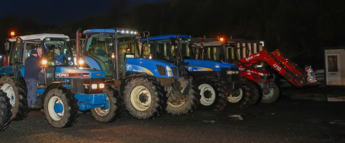
Ardara’s main street rolls down a long hill and turns right – then that’s about it. Before you know it you are back in the countryside. Like a lot of Donegal townlands, or villages, it is small but condensed. There is a lot in a small area. We had previously sat at a junction outside Ardara for 20 minutes and watched as what seemed like hundreds of tractors “zoom” past on a “Tractor Run”, a popular rural fun raising activity in Ireland (and Wales too). When I say “zoom” I mean relatively speaking, as a lot of the tractors were vintage ones that did not really zoom so much as chugg past.
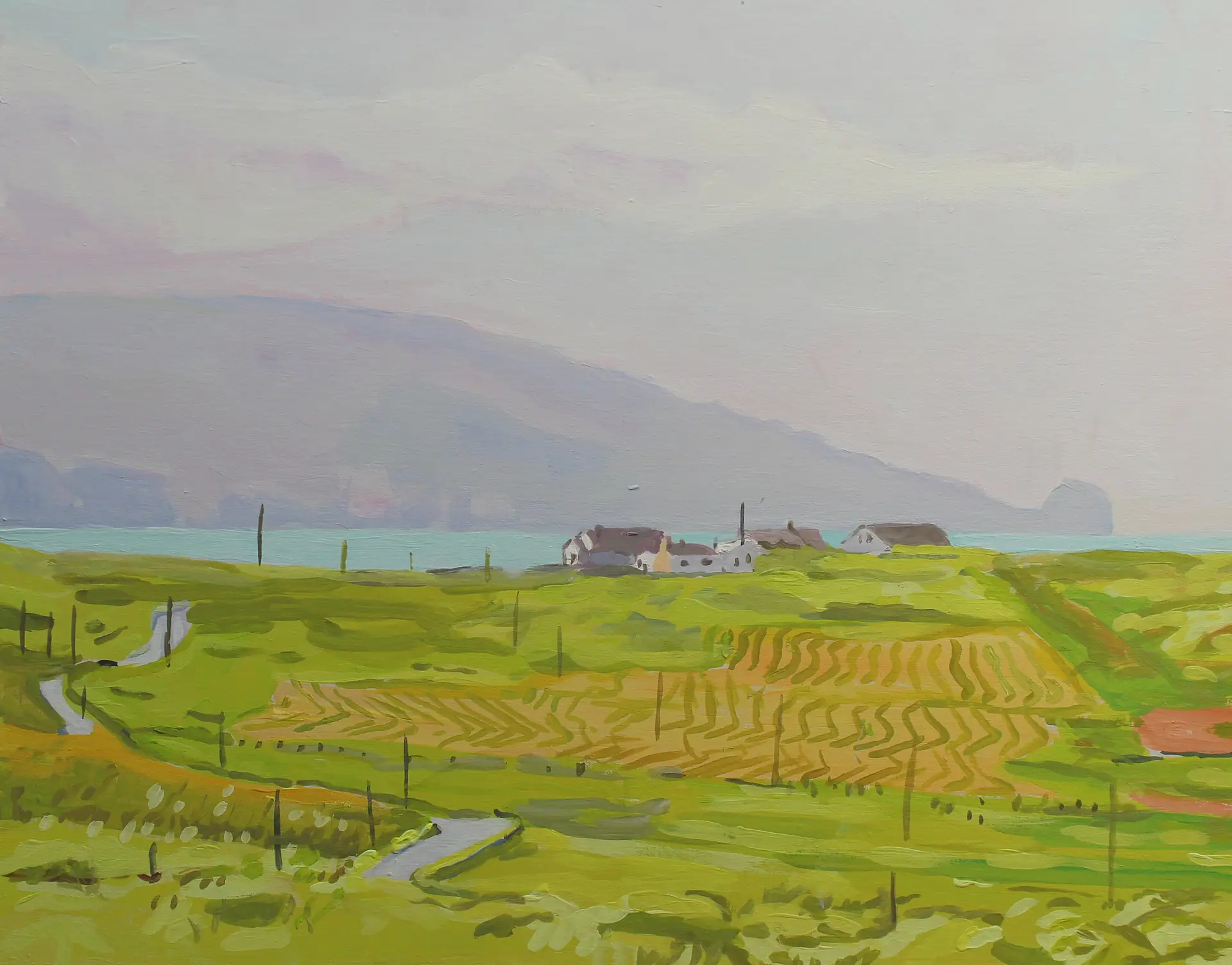
The main street is dotted with lots of cafes, bars and wool/tweed shops. Ardara people are very friendly and welcoming. This is a regional centre for the dyeing and weaving of Donegal wool. This seemed to rub off choice of the colours of the walls of the village itself. The villages in the south of Donegal are a lot more colourful than the ones in the north. They favour white houses. I don’t know why, but I was surprised by the vibrancy of the colours of wool and cloths. They were the exactly same as the colours you see all around your in the Donegal landscape: greens of the grass, browns of the bogs, the pinks, purples, yellows and oranges of the flowers. Some cloths were flecked with an array of lush colours. As an artist it was very inspirational to see these colours.

A couple of years ago we visited the Triona Visitor Centre where a very patient lady answered a lot of my questions about weaving. There is also Campbell’s, Eddie Doherty’s and John Molloy’s to the south of the village. I would happily taken armfuls of coats and jumpers but in the end we limited ourselves to a tweed flat cap for Seamas and a pair of Donegal socks for me! Last of the big spenders, eh? This little village is well worth a visit and the list of upcoming festivals it hosts gives a good excuse call by if you are ever in the north of Ireland!


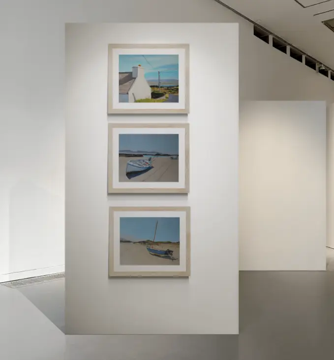
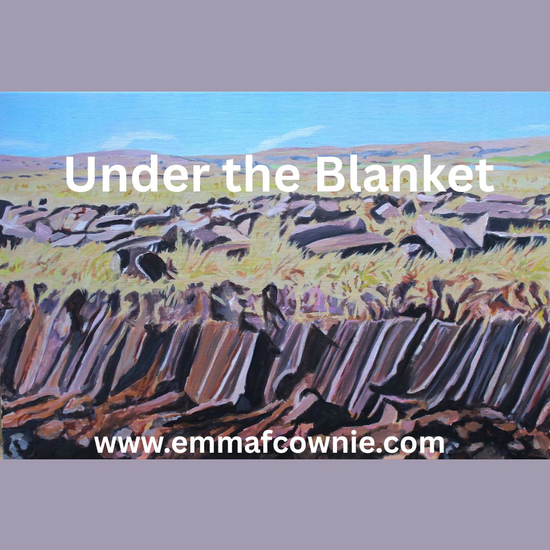
See more of my paintings of West Donegal here and Arranmore here
Find out More about Ardara
https://www.welovedonegal.com/ardara.html
https://www.govisitdonegal.com/things-to-do/places-to-see/ardara-heritage-town