Fanad is a finger of land that lies between Lough Swilly and Mulroy Bay on the north coast of County Donegal, Ireland. It is not that easy to get to and the the survival of the Irish language is testiment that relative isolation.
Lambing season at Fanad Head (Donegal) SOLD
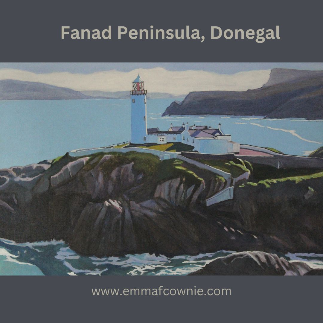
Fanad Lighhouse (Donegal). Is one of the 12 Great lighthouses of Ireland. It was built in 1886 at Fanad Head (although the station was originally established in 1817). The lighthouse, or more acrrately, the harbour light, marks the entrance into Lough Swilly which forms a natural harbour.
Fanad Lighthouse (Donegal) SOLD
I have painted this isolated structure several times before. I have always enjoyed painting the northernly light on Fanad. I have only have painted it in acrylics. That’s not a delibertae choice, more one of circumstance because at times I have had limited space, and I dont want to use oil paints with kittens close at hand.
Over to Fanad Lighthouse (Donegal) _Emma Cownie SOLD
I think acrylics suit the airiness of the subject matter. After a couple of years working out how to use them, I have settled on a technique of light layers of paint that allow the underlying colour to show through. This can give a transulent quality to the colour. This is in contrast to the relatively flat areas of colous I use for the larger areas of colour such as sky or the sea.
My latest painting was an experiment in composition. We used an image from a drone shot done by my artist husband, Seamas (James Henry Johnson).
In this piece, I wanted to create a sense of space from the mountains of the Inishowen Peninsula in the distance. The distant mountains were layered with bluish white until I got the right impression of distance.
I often find myself looking at the tiny Fanad lighthouse far off in the distance when I am at Lisfannon on the Inishowen Penisula. There is a sign comemorating a famous Atlantic storm that happened in 1748. this storm threatened to sink The Greyhound, the ship of one John Newton, a slave trader. John was so frightened that he called out to God for mercy. This moment marked a profound spiritual conversion, and many years later he wrote the words for the hymn “Amazing Grace” one of my favourite hymns, and to also campaign for the abolition of slavery.
There is some confusion how many storms there were . One website claims the terrible tempset happened far away out in the Atlantic because it took John Newton another four weeks after his conversion to sail into Lough Swilly and arrive at Derry/Londonderry. The Amazing Grace.ie site however, makes it clear a second storm happened in Lough swilly itself as it quotes John’s journal ” We saw the island of Tory and the next day anchored in Lough Swilly in Ireland. This was the 8th day of April, just four weeks after the damage we sustained from the sea. When we came into this port, our very last victuals was boiling in the pot; and before we had been there two hours, the wind began to blow with great violence. If we had continued at sea that night in our shattered condition, we must have gone to the bottom. About this time I began to know that there is a God that hears and answers prayer.” It’s got to be said, that John Newton really took his time putting his evangelical beliefs into action because he went back to being a slave trader for another five years before he eventually retired and became a minister in 1757!
The heaving sea at the foot of the massive lighthouse rock intrigued me. The Atlantic Ocean has such a bulk and stregth, even on a relatively fine day, I am not surprised that John Newton was terrified by its strength far away from the Donegal coast. I wondered about the long and difficult process of building this structure all those years ago in a remote location. Yet, this lighthouse has stood the test of time and proudly marks the entrance to Lough Swilly and can be seen from inland and further along the coast.
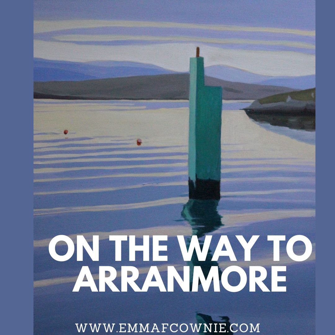
Looking through my recent work, I was surpised to realise that I haven’t painted many paintings of Arranmore Island in the last couple of years despite visiting the islands in the summer. So I have put that right with a series of new paintings.
As always I am entranced by the journey to and from the island. You can read my short History of the Island here
Arranmore is lucky to be served by two ferry companies. There is The Arranmore Ferry (Blue) which is based on the island and Arranmore Ferry (Red) which is not. Yes, I know the names are almost identical, just a small matter of “The”. They both offer a fantastic 15 minute journey from Burtonport (Ailt An Chorráin) to Arranmore Island. On a calm and sunny day the view on the crossing are just heavenly. Sometimes there are dolphins too.
Map of Arranmore and the coast off Burtonport
The ferrys sail through a narrow passage past a scattering of islands on the way to Arranmore.
Rutland Island (Inis Mhic an Doirn) lies between Burtonport and Arranmore, Donegal. William Burton Conyngham (a local landowner for whom Burtonport takes its Anglised form) had warehouses, a street of houses, a post office and a school built c. 1784 to capitalised on a the abundant herring fishing. Unfortunately, the herring disappeared very early in the 1800’s and the station fell into disuse. The island was inhabited until the 1950s. These are the remains of the fish factory and landing stage on Rutland Island.
Opposite is Inishcoo Island with Mount Errigal in the distance peeping out from under the clouds. The jetty in the left hand corner belongs the magnificent Inishcoo House (see painting below)- once a coast guard house, built in the C18th.
Inishcoo House, Ireland (SOLD)
There are several tiny holiday homes dotted across the islands (and cows)
Ferry Home (Arranmore, Donegal) by Emma Cownie SOLD
A you can see the views are quite idyllic. Whether from the ferry or from the island. To be honest, I wish the ferries were like the Circle Line on the London Underground, where you can ride the tube rround and round (it takes and hour and an half apparently, I have never done it) and you could ride them back and forth to the island all day!
Washing Line, Arranmore by Emma Cownie SOLD
Some more recent works….
A Home on Arranmore, West Donegal, Ireland by Emma Cownie
An Port has loomed large in my imagination for a long time. It’s very remote and quite difficult to get to. To reach it, you have to drive down a very, very long single track road (it’s about three miles but it feels longer) on the way to Glencolmcille. There are plenty of sheep and only a few people.
The Road to Port
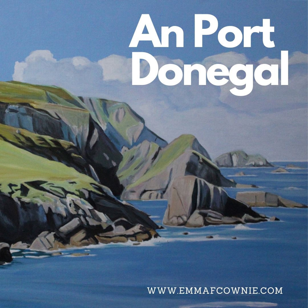
At An Port there is a small quay and a tiny deserted fishing village which looks out over a small bay, surrounded by cliffs and truly massive slabs of rocks and sea stacks. Its one of those landscapes that you imagine can be found all along the west coast of Ireland but is actually unique. When I visited Texas in the late 1990s I thought it would all look like Monument Valley, thanks to those John Ford films. I was surpised to find it was pretty flat.
An Port, Donegal – photo credit Emma CownieAn Port: Photo credit Emma Cownie
The village was still inhabited in the 1920s. The hillside is littered with the remains of the stone houses
Remains of houses at An Port: Photo credit Emma Cownie
There is one inhabited house, now an AirBnB property. You can see it on the hill behind me in the photo my husband took of me (below). This was Annie McGinley’s family home.
Me at An Port
I first heard about Port in 2018 from a TV programme about the famous American landscape artist Rockwell Kent and his stay in Donegal the 1920s. Rockwell Kent is probably best known today for his illustrations for Moby Dick.
Moby Dick Illustrated by Rockwell Kent
Unfortunately Kevin Magee’s film (in Irish with subtitles) “Ar Lorg Annie” or “Searching for Annie” is no longer available but you can see a short clip on Youtube here. A friend of Kent’s, Rex Stout, had funded his trip to Ireland. He paid him $300 a month on the condition that he had the choice of two painting when he got back. This is one of them in California, “Prince Charles’ Cove”.
Rockwell Kent and his second wife Frances Lee Higgins (they were on honeymoon) spent several months in the near by valley of Glenlough on a farm belonging to farmer Dan Ward. Kent stored many of his paintings back at Port, in the home of Annie McGinley, who modeled for him. Her she is.
The original “Annie McGinley” now rests in a private collection in New York,
Rockwell Kent returned to Donegal, 32 years later. He had wanted to buy Dan Ward’s farm but it had already sold to another farmer. Instead he sought out ‘this singularly lovely teenage girl with whom I had danced many a jig’ and found her in nearby Crobane, married, midddle-aged and ‘broad-beamed’. She had had 14 children, 12 had lived.
Annie McGinley and Rockwell Kent in 1958
Rockwell went to find Annie’s long abandoned cottage in An Port where in 1926 he had dried his Donegal paintings. It turned out to be the only structure still standing, barely supporting the weight of an overgrown thatched roof, a year or two from dereliction. ‘This house, we thought, we ought to buy and fix and have as a place to come every year …’ but he didn’t.
If you look on the left hand side of my painting “An Port” (below), you will see tiny fence posts along top of the cliff. They help give a sense of scale of the huge cliffs and rocks. I can’t remember who first described this landscape it as the “land of giants”but it truly apt.
It is hard to do justice to this incredible landscape but I think that Rockwell Kent’s paintings do. He really capures the majesty and warm colours of Donegal. He also excels at Donegal skies and light. I am really in awe of him.
I wish I could see the original paintings but this is very unlikely. It seems that none of Rockwell Kent’s large paintings stayed in Ireland. Most of them are either in the USA or in Russia. But that’s another story.
While many of you are baking in England and dealing with a hosepipe ban, in Donegal it’s cloudy with occasional showers. I thought I would share you my recent newletter. They have ended up being quarterly. It depends of how much news I have and how busy I have been. I always make it strong on the visuals and light on the words! I also make the typeface large for reading on smart phones!
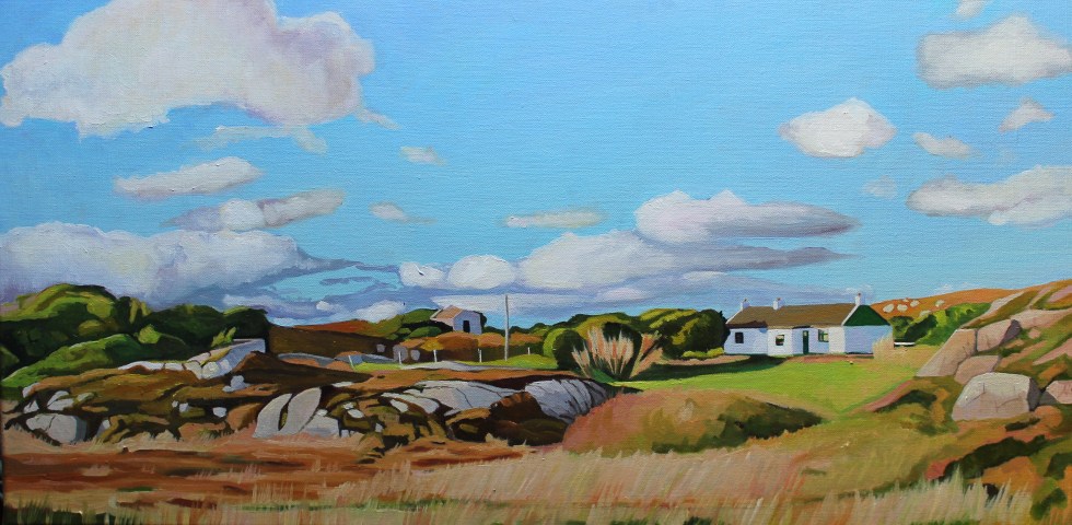
Autumn brings incredible colours to the west coast of Ireland. As the grass and bracken die off, they turn a fantastic shade of orange and pink. The pink granite rocks that litter the landscape accentuate the warm colours. They have provided me with much inspiration for my landscape paintings of Donegal, Ireland.
This series of paintings has been inspired by the Old Railway Walk which starts near Burtonport, near Dungloe in Donegal. There are no railways in Donegal anymore. There used to be. The line to Burtonport was built in 1903 as a joint venture by the British government and the Londonderry & Loch Swilly RailwayCompany to attempt to alleviate poverty in north West Donegal.
Steam trains at Burtonport, Donegal
The trains used to carry fish from the port at Burtonport in Donegal to Derry, in the neighboring county. It also carried many seasonal workers to and from Derry and Scotland. After 1922 the line crossed from one country into another; from the Irish Free State into Northern Ireland.
Railways in 1906: Credit: Donegal Daily.comGweedore train station (Mount Errigal in the distance)
In the 1940s, however, the Irish government decided to close down the railways in Donegal. I have never really found a clear explanation for why this happened but I am going to assume that the cost of running the line was an important factor. There were also concerns about the safety of the line.
Owencarrow Viaduct, Donegal
In January 1925 disaster had occurred on the at theOwencarrow Viaductwhen winds of up to 120mph blew carriages of the train off the viaduct causing it to partially collapse. Four poor souls lost their lives.
Owencarrow Viaduct
After the Second World War, the Irish government presumably decided it would cost too much to continue the maintenance of the line and it was closed in 1947. The Burtonport-Gweedore section closed in 1940. There is a great graphic on the Donegal Daily hereillustrating the shrinkage and disappearance of the railways. Donegal became a very remote part of Ireland, with no railways and no (still) motorways. Communication with the area improved in 1986, however, whenDonegal airportstarted operations.
It seems that for half a century nothing much happened on the old railway line. In 2009, however, there was a heavy snowfall, and some of the old railway line was cleared to access water mains that needed repairing. The remaining section was later cleared and gradually developed as a walkway with the support of the local community. A massive effort has gone into creating this beautiful and peaceful walk.
The Burtonport Old Railway Walk
Here are some of my paintings inspired by my husband Seamas’s photographs of the railway walk.
There are many features of the old railway remaining which you can view along the way such as stations, gatehouses, accommodation crossings, lots of pillars, cuttings, embankments, a bridge and rusty gates. There are also lots of shelters for walkers to hide from passing showers to use.
dav
Photo credit: James (Seamas) Henry Johnston
Youtube video- Siúlóid an tSean Bhóthar Iarainn—The Old Railway Walk by Ralph Schulz.
Find out more about the Railway Walk by clicking on the links below:-
Getting here: From Letterkenny and Dungloe – SITI Rural Transport – Tel 0749741644. From Dublin – Bus Eireann@ www .buseireann .ie From Scotland & Northern lreland – Doherty Travel (00353) 749521867
The ferry to Tory Island runs all year round. In the summer months (June onwards) there are extra sailings. We had decided to get an early boat as Seamas, my husband said the weather forecast was for sunshine in the morning, cloudy around midday and then sunshine in the afternoon. I think we are learning to take weather forecasts for Donegal with a pinch of salt. Some forecasts for “cloudy” days translate into blue skies with a few clouds, others into a damp drizzle. We were optimistic but when we arrived at Magheroarty Pier it was overcast. Once we had parked in the generously sized car park, we had to hurry to get the boat. Magheroarty Pier is tidal, so sailings have to leave on time, time and tide wait for no man, etc.
Car at Magheroarty (Muckish Mountain in distance)
We were not quite the last people on the boat but all the downstairs seat were full so we stood on the top deck, me leaning against the body of the ship and Seamas found a large metal box to sit on, the dogs sat close to him. We could feel the movement of the boat as soon as the ferry left the shelter of the harbor at Magherorarty and at times we had to hang onto a metal grill that housed a lifeboat ring.
Queen of Aran – Ferry to Tory
Two men who were standing nearby to us were talking to each other in Irish. Tory Island is probably the strongest Irish-speaking area in the country. It sounded a bit like a Scandinavian language at times – a third Irish speaker stood to one side, listening. They each looked very different from each other in appearance, one was very blonde, one was dark-haired and the third had white hair. The dark-haired man had freckles and light eyes. It is a “look” I have seen a lot in Donegal, Seamas says it’s common in County Derry too.
Map of Tory Island
The trip took just under an hour. The motion of the boat made me feel quite ill by the time we reached firm land. I think being on the top deck made me feel the motion of the baot more than if I have been on the lower deck. It took me at least 30 minutes to shake the feeling of a dodgy stomach. Someone, later asked if we had felt ill on the crossing, and laughed when I said I had. It’s not unknown.
One of the tors of Tory Island
Tory Island lies 8 miles off the coast of Donegal. The origin of the name of Tory Island (Oileán Thoraí in Irish), isn’t universally agreed on. Yes, the word Tory may come from from the Middle Irish word tóraidhe; modern Irish tóraí; meaning a robber or bandit. Ever wondered why one of the oldest British political parties, the Conservatives, are also known as the “Tories”? The term was originally a term of abuse and meant “an Irish rebel”. The insult goes back to the era of Oliver Cromwell’s brutal campaign in Ireland when a band of Irish guerilla fighters was known as Tories.
Another explanation for the name, however, is that it may mean the “island of Tors”. The shape of the island from a distance is a tower, and its northern coastline is peppered with massive tors. This seems just as likely. I suspect that people, however, prefer the story of the name meaning Pirate Island instead of the Island of Tors as it’s more exciting. The remote location of the island has meant that the islanders have had (and continue) to rely on their ingenuity and resourcefulness.
An Baile Thiar
They have lived on the margins of the so-called “civilized world” and kept to their own rules and customs, which were not necessarily those of the mainland. Famously they refused had fallen behind with their rents and rates and a British gunboat, HMS Wasp, was sent in 1884 to forcibly collect the arrears and evict the tenants. Luckily for Tory, it hit a reef near the island and sank rapidly (not so good for the 52 who died). The locals put this stroke of fortune to the power of their cursing stone! This event is one of many Donegal stories about the spooky powers of Tory Island. You can read more in the National Folklore Collection UCD Digitization Project.
One custom that marks Tory as different from Ireland is that they have a king. It’s not a hereditary position, rather one chosen by consensus as a leftover from the days of Gaelic chieftains. Patsy Dan was asked to become king by the children of the previous king Padraig Og Rodgers in the 1990s.
King of Tory (from Wikipedia)
He was a talented musician and painter and acted as a very successful ambassador for the island. At a young age, he had befriended English artist Derek Hill, who regularly painted on Tory and he helped set up a gallery on Tory, where island artists sell their work. He was clearly an energetic man, as was known for personally greeting all the visitors to the island as the ferry arrived from the mainland. He apparently made a point of shaking hands with visitors and saying “Welcome to my island.”
Sadly, Patsy Dan Rodger, died last year and now rests in the churchyard. I saw his grave decorated a wooden cross and with stones around it. I did not take a photo because it felt like it would be an intrusion on the island’s grief. The island is without a king for the time being.
The island itself is a strange mix of very old and modern. People have lived here for over 4500 years. There are a few old cars and vans driving back from the harbour after picking up stuff at the pier.
Tory feels a long way from the mainland, although you can see the coast of mainland Donegal when the weather is clear. It is less than 2 miles long and only half a mile wide. My overwhelming first impression (once the cars and vans had driven off) and we had walked out of the tiny West Town (An Baile Thiar) was of birdsong.
Sparrows, larks and other moorland birds just singing their hearts out. The landscape is full of bold little brown birds, pipits and larks. Some of them even come near to you and sing, possibly as a challenge. We walked along a single tracked road eastward towards the other settlement or “clachan” on the island. We passed a Second World War torpedo that had been painted bright red and erected by the side of the road.
Tory Island (mainland Donegal in the distance)
I marveled at the ground on Tory. To the south of the road, it seemed to be a dried bog and the north it was very stony ground, reminding me of a hardcore carpark. How had anyone, let alone over 200 (at one point it rose to 400) islanders managed to eek a living from such a tough terrain? I have looked at the small stony fields in Galway and thought how tough life must have been for the farmers, but this was much worse. The potato was a versatile crop and remarkably the blight that brought the Great Hunger to mainland Donegal, did not reach the island. Of course, the Tory islanders did not live from farming alone, they were also fishermen and brewers of poitin whiskey.
There was a group of German tourists ahead of us (they all seemed to be wearing blue jackets for some reason). They veered off the road to the left towards what looks like a dip in the earth. We followed them, so see what they have gone to look at and discover that is a massive hole with a cave down to the sea. I would not have guessed this was here from the road.
Cave to the sea
We carried on up to the northern edge of the island. What a view! I am not good with heights as the best of times and I felt quite ill looking over the edge. I lay down on the grass to take photos. The reddish cliffs and cream coloured sea stacks were stunning.
Tory Island Sea StackTory Island
We spent a lot of time walking along the cliffs and back again, taking in the views.
North Coast of Tory Island
There were sea birds flying and squawking. Lots of gulls and razorbills and one lone puffin to be seen. The birds of Tory are the highlight of the visit for me.
We then find the weather has closed in on us. We could see the mist and cloud descending on the lighthouse to the west of us, at the other end of the island. I’d foolishly hoped it would stay on that side of the island!
On the island, weather changes from moment to moment. I am reminded of the sign outside Derek Hill‘s house warning that “Winter weather can happen at any time in Donegal”. Yes, it can.
Mainland Donegal has vanished in a cloud of rain. We get increasingly damp, but not quite soaked through. There’s no shelter anywhere. No trees. No bus shelters (what an utterly daft idea, here). We have a lively discussion about the conditions (I keep thinking of that weather forecast of sunshine in the afternoon) and I optimistically suggest that it will pass soon enough. I am encouraged by the fact that the group of German visitors (off in the distance) haven’t given up and are scaling the heights of Ardil Iril, and are looking over the cliff. So we carry on and by the time we reach Port an Duin, which has a small concrete pier, the rain has halted.
Old winding gear at Port an Duin
We sit down on some rocks and eat our sandwiches and crisps. The dogs get some too and a drink of water from their bowl that I am carrying. The weather brightens up considerably as we climb up to the highest part of Tory. This is Dun Bhaloir (Balor’s Fort), which is an early Iron Age Fort, which is covered in piles of massive rocks, which were part of the defenses. Balor apparently was a fearsome cyclops warlord who could kill a man dead with a single glance of his evil eye!
On Dun Bhaloir, Tory
From here we can get a view of the rest of the island snaking off to the west. It has brightened up now and we take off our coats. The dogs are getting hot and panting.
Tory Island From Dun Bhaloir
There’s a discussion about the return time of the ferry as Seamas’s smartphone has died (and I don’t have one). We’d asked about the times when we got off the ferry but after the long walk we aren’t sure of what we were told, was it 2.30 or 3.30? We could see the ferry heading back to the mainland at 1.30 so I reason that it will be at least 2 hours before it returns. However, we would easily be able to see it returning so we would just need to keep an eye out for it. So we started plodding back to An Baile Thiar and the pier. We were all very tired now. So we start the walk back to the harbour in An Baile Thiar.
Bench on ToryHome maintenance on Tory
We made it back to An Che (the pier) and could see the approaching ferry in plenty of time. I got some extra water for the dogs from a tap in the parish hall. This time we got seats on the ferry so I don’t feel queasy on the journey back. The German tourists are also on the ferry.
As we were coming towards Magharoarty harbor, three dolphins surprise us all appearing in the sea alongside the ferry. I saw a flash of strong blue-grey bodies and then the three of them arching in and out the water behind the ferry. All the passengers on the boat were very excited (as was I). These are my first wild Donegal dolphins. I spend a long time looking at my photos afterward, reliving the experience. I wish the photos were better.
Three dolphins from a distanceCloser Up: Donegal Dolphin
I left with an impression that Tory wasn’t like the other Donegal islands. It felt a lot further away from the mainland for a start. Life was (and probably still is) tough here. When the rain covered the island we might as well have been a thousand miles from the mainland. I know that is true of all islands to some extent, but you really felt it here. We visited in summer, I can hardly imagine what it is like in the winter, surrounded by the raging Atlantic Ocean. I didn’t get to speak to anyone, beyond a “hello” but the islanders are very clearly very independent and resilent. Looking over my little guide book to Tory I realise that there was lots more to see on the island, that we didn’t have the time or energy to see, namely the lighthouse on the west end of the island, Derek Hill’s painting hut, the Art Gallery, or the round tower or the curious T-shaped “Tau” Cross.Next time, I visit, I will bring more sandwiches and a hat in case it rains again.
I love painting the coast, particularly if it’s rocky. Owey Island, lies just a short distance off Cruit Island near Kincasslagh in west County Donegal. Strictly speaking there have been no permanent residents since the 1970s. [Photos from http://www.welovedonegal.com/islands-owey.html]
There is no electricity or mains water, yet plenty of people visit and many visit during the summer months. If you want to visit, there is a ferry service run by Dan the Ferryman.
View of Ireland From Owey Island (Ian Miller)
The name Owey, in Irish Gaelic “uaigh”, means cave. The island is a cavers, kayakers and rock climbers’ paradise.
The island is encircled by massive rock stacks and it also has an underground lake. As I am cave-phobic this video is the closest I will ever get to it!
I am fascinated by rock stacks and Donegal has plenty of them. I like to think of how these massive structures have gradually been eroded by wind and waves over thousands of years, forming first sea arches and then stacks.
I also love the colour of the rocks and the wild Atlantic Ocean. The ocean is incredible shades of blues, greens and mauves, mixed in with browns and frothing surf. Although I feel I am getting better at representing the layers of Donegal sky and clouds, but capturing the movement of the seas is still frustrating me.
Over to Owey Island (SOLD)
If you to find out more about Owey Island see Ian Miller’s Unique Ascent’s website for detailed descriptions and incredible videos.
Just thought I’d add a post script about the “Holy Jaysus Wall”. I think if you look at photo of it you will understand the name. It makes me feel ill just looking at it!
Holy Jesus Wall
SONY DSC
Irish climber and alpinist John McCune, climbed it in 2014.
Here’s a fascinating film clip from the 1970s about Owey Island’s postman, Neil McGonagle, who used to visit the dwindling population on Owey Island by small boat four times a week to maintain the island’s contact with the outside world.